Drone Photography in the UK: The Rules, the Planning and the Craft
Aerial work is the fastest way to make a venue look extraordinary — and the fastest way to get a club into trouble if you fly without doing the homework. Here is the whole process, from registration to the shot list.
A single aerial frame will tell a sponsor more about a sports ground than twenty photographs taken at eye level. It shows scale, layout, the relationship between pitch and clubhouse and car park. It is also the part of my work with the most law attached to it, and the part where getting it wrong is expensive for everybody.
This is the process I follow for every aerial booking. It is written for the UK as the rules stand in 2026, and I will say up front what I say to every client: regulations change, and the Civil Aviation Authority's Drone and Model Aircraft Code is the authority, not this article. Check it before you fly.
Why aerial work earns its place
Ground-level photography is about people. Aerial photography is about place. Three specific jobs it does better than anything else:
- Selling a venue. A club trying to attract a sponsor, a tournament or a tenant needs to show what it has. Nothing does that like a single frame containing the pitches, the parking, the clubhouse and the access road.
- Explaining scale. "Four full-size pitches and a 3G surface" is a sentence. An aerial photograph is a fact.
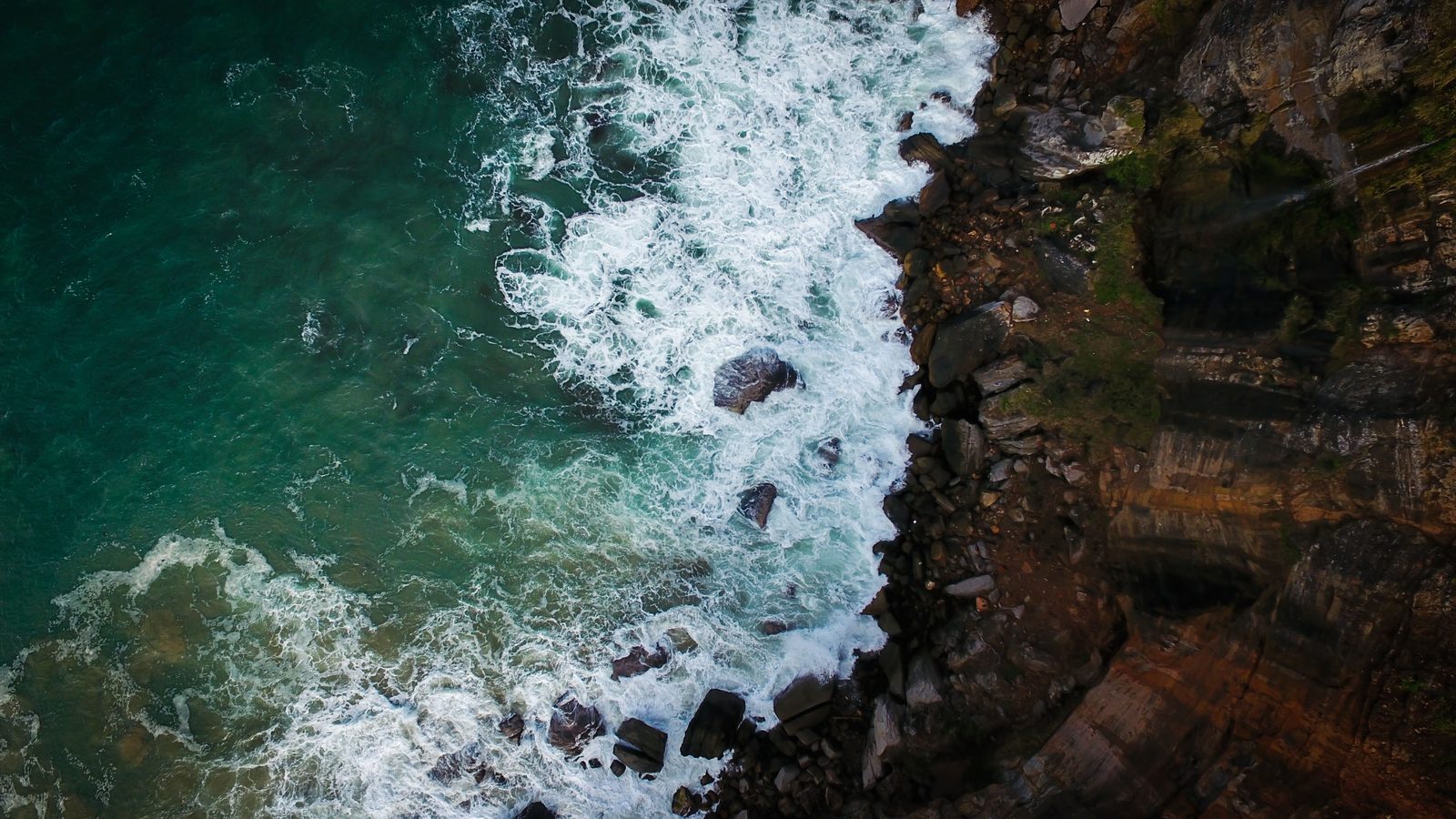
- Making abstract pictures. Directly overhead, everything becomes graphic — the geometry of pitch markings, the pattern of a mown outfield, the lines of a car park. These are the frames that end up on walls.
They do not photograph a match. Flying over an assembly of people is prohibited, so drone coverage of an event with a crowd is not a thing that happens legally. Aerial work is for empty or nearly empty venues, before or after the sport.
The legal position in 2026
UK drone law was rewritten after Brexit and then substantially amended again with effect from 1 January 2026. The headline changes that matter to a working photographer:
- UK class marking (UK0–UK6). New drones placed on the UK market now carry UK class marks. EU C-class marks are recognised as equivalents (C0 = UK0, C1 = UK1 and so on) until 31 December 2027; after that, C-marked aircraft that have not been retrofitted are treated as legacy drones and governed by weight alone.
- Remote ID. From 1 January 2026, UK1, UK2, UK3, UK5 and UK6 class drones must broadcast Remote ID. A second phase on 1 January 2028 extends this to UK0 drones with cameras weighing 100g or more, UK4 aircraft, legacy drones of 100g or more with cameras, and privately built platforms of 100g or more with cameras.
- Flyer ID threshold lowered to 100g. Anyone flying an aircraft weighing 100g or more now needs a Flyer ID, down from the previous 250g threshold.
- Night lighting. Any drone or model aircraft flown at night must show a green flashing light.
The 120 metre (400 foot) maximum height above ground level remains, as does the absolute prohibition on flying over crowds and assemblies of people.
Operator ID, Flyer ID and what you actually need
People mix these two up constantly, so, plainly:
| Flyer ID | Operator ID | |
|---|---|---|
| Who it identifies | The person at the controls | The person or business responsible for the aircraft |
| When required | Flying an aircraft of 100g or more | Owning an aircraft of 250g or more, or 100–250g with a camera |
| How you get it | Free online theory test with the CAA | Register with the CAA and pay the annual charge (£11.13 at the time of writing) |
| Validity | Five years | Renewed annually |
| Physical requirement | None | Must be displayed on the aircraft |
Two points worth stressing. The Operator ID label must be on the outside of the aircraft, legible without tools — a printed sticker is fine, a number written in the app is not. And there is no longer a separate "commercial" permission in the Open category: since 2020, UK drone rules have been risk-based rather than purpose-based, so what matters is the weight of the aircraft and its proximity to people, not whether you are being paid.
A1, A2, A3 — the practical version
Almost all photography flying happens in the Open category, which splits into three subcategories by risk.
A1 — over or near people
Sub-250g aircraft (UK0 / C0 and legacy under 250g). You may fly in built-up areas and may briefly overfly uninvolved people, but never over crowds or assemblies. This is why a sub-250g drone is far more useful for venue work than its sensor size suggests — it lets you fly where a heavier aircraft cannot.
A2 — close to people
Requires an A2 Certificate of Competency, obtained through a CAA-recognised assessment entity. With a UK2/C2-marked aircraft of up to 4kg you may fly to a minimum horizontal distance of 30 metres from uninvolved people, reduced to 5 metres in low-speed mode. Legacy and transitional aircraft flown in A2 are held to a 50 metre separation. Never over uninvolved people, in any case.
A3 — far from people
Aircraft from 250g up to 25kg with no additional certificate. You must stay at least 150 metres from residential, commercial, industrial and recreational areas, and there must be no uninvolved people within the area of the flight — in practice, 50 metres clear. For a rural sports ground on the edge of a village this is often workable; for a town-centre club it usually is not.
Most British sports grounds sit inside or beside a recreational area, which is precisely what A3 requires you to stay 150 metres from. That means a venue shoot is normally either a sub-250g aircraft flown in A1, or a class-marked aircraft flown in A2 with an A2 CofC, or an Operational Authorisation in the Specific category. Working out which applies is part of the job, and I do it before I quote.
Planning a flight properly
The flying is about twenty minutes. The planning is most of the work.
- Airspace check. Flight Restriction Zones surround protected aerodromes and you may not enter one without permission from air traffic control. Check the current airspace picture on an authoritative map — the CAA-endorsed Drone Assist app or the NATS airspace maps — for the exact coordinates, not the general area. Shropshire has more active airfields than people expect, and RAF activity adds temporary restrictions that will not appear on last month's chart.
- Landowner permission. There is no legal right to take off from or land on land you do not control. Get written permission from whoever owns the ground, and confirm who owns the field next door in case of an emergency landing.
- Site survey. Ideally in person, otherwise on satellite imagery. Identify the take-off point, obstacles (floodlight pylons are the classic hazard on a sports ground), overhead power lines, and where uninvolved people are likely to be.
- Weather. Wind at 120 metres is typically substantially stronger than at ground level. I check forecast wind at altitude, not just the surface figure, and I do not fly above roughly 20 mph gusts regardless of what the aircraft claims it can handle.
- Notify. Tell the club, the groundsman and anyone likely to be on site. A drone appearing unannounced over a school playing field generates phone calls nobody wants to receive.
- Contingency date. Written into every aerial quote I issue. Aerial photography is weather-dependent in a way ground work is not, and pretending otherwise leads to bad flying decisions.
Composition from 100 metres up
The most common failure in aerial photography is not technical. It is that the photographer got the drone up, was pleased with themselves, and forgot to compose.
Four things I look for:
Commit to an angle. Either go fully top-down at 90 degrees, or come down to a low oblique of 20 to 30 degrees. The awkward 45-degree middle ground reads as neither a map nor a landscape and is where most disappointing aerials live.
Use the light sideways. Overhead midday sun flattens everything into a satellite image. Early morning and late afternoon light rakes across the ground, and suddenly every ridge, hedge, stand and floodlight pylon casts a shadow that gives the frame depth. The best aerial hour is the first hour after sunrise, when the light is low and the wind is usually calm.
Find the repeating pattern, then break it. Rows of seats, mown stripes, parked cars, court markings. Pattern alone is decorative; pattern with one thing interrupting it is a photograph. A single groundsman crossing an empty pitch turns a diagram into a story.
Fly lower than you think. The legal ceiling is 120 metres, but most of my best venue frames are made between 30 and 60 metres. Higher is not more impressive; it is just further away.
Camera settings and the small-sensor problem
Even good drone cameras have small sensors, which means limited dynamic range and noise that arrives early. Work accordingly.
- Stay at base ISO. ISO 100 wherever possible. Above ISO 400 most drone sensors fall apart. This is another argument for shooting in good light rather than pushing into dusk.
- Shoot RAW, always. The dynamic range is limited enough that you need every bit of latitude in the file.
- Use an ND filter. In bright conditions, a fixed ND lets you keep a sensible shutter speed instead of stopping down past the point where diffraction softens a small sensor. ND8 and ND16 cover most British daylight.
- Bracket the highlights. Sky and sunlit ground in one frame will exceed the sensor's range. Three-frame bracketing costs nothing and saves the shot.
- Watch the horizon. A tilted horizon is far more visible in an aerial frame than a ground one, and cropping to fix it in a small-sensor file hurts. Get it level in the air.
- Hover, then shoot. Let the aircraft stabilise for two or three seconds after any movement. Frames taken mid-drift are softer than they look on the controller screen.
A venue shot list that clients actually use
Every aerial venue job I do delivers roughly the same twelve frames, because these are the ones that get used:
- Straight-down of the main pitch or court, square to the markings
- Straight-down of the whole site, showing every facility
- Low oblique from the main approach road — the view a visitor gets
- Low oblique from behind the main stand or clubhouse
- Wide context frame showing the site within the surrounding landscape
- Detail: pitch markings, mown stripes or court surface pattern
- Car park and access, for events and logistics planning
- Any secondary pitches, courts or training areas
- The clubhouse from above at an angle that shows the entrance
- Golden-hour frame with long shadows for the hero image
- A tight vertical crop suitable for social media
- A wide horizontal crop suitable for a website banner
That last pair matters more than it sounds. A client who receives only 3:2 frames will crop them badly themselves. Delivering purpose-shaped versions means your work appears the way you intended.
Check the current CAA Drone and Model Aircraft Code and the live airspace picture on the day. Rules, restrictions and temporary zones change. A flight that was legal last month may not be legal today, and "I checked in the spring" is not a defence.
Thomas Brown is a sports and documentary photographer based in Newport, Shropshire, with an MA in Photojournalism & Documentary Photography from the University of the Arts London. Get in touch about a fixture, a tournament or a commission.